Angkor Wat Map: the Temple Plan and the Park Around It
Angkor Wat sits inside water and walls: a west-facing rectangle with three galleries stacked towards one tower. The park around it is wide enough that distance and opening hours set the order of your day.
Updated 27 October 2026
In shortOn the map Angkor Wat is a west-facing rectangle. A moat about 190 m wide, with a perimeter over 5 km, surrounds an outer wall 3.6 km long; a causeway of 350 m leads to the western entrance; inside, three rectangular galleries rise to a central tower 65 m above ground, all within a footprint of 162.6 hectares. Angkor Thom lies north, Ta Prohm north-east, Siem Reap 6 km south.
190 mmoat width
3.6 kmouter wall length
65 mcentral tower above ground
162.6 haAngkor Wat footprint
Temples and main monumentsSunrise and sunset viewpointsVillages on Tonle Sap
The main temples of the Angkor park, the ticket office on the road from Siem Reap and the lake villages usually added to a temple itinerary.
The moat, the wall and the way in from the west
Everything begins with the water. The moat is roughly 190 m wide, its perimeter runs over 5 km, and inside it stands an outer wall 3.6 km long. The enclosure faces west, while most Angkorian temples face east. This whole plan was laid out in the early 12th century for King Suryavarman II, who meant it to serve as his state temple and then as his mausoleum, with the dedication going to Vishnu first and turning Buddhist before that century was out.
One formal approach crosses the moat: a causeway 350 m long, aimed straight at the central towers. The two ponds lie either side of it, level with the third flight of steps beside the outer libraries. Only the northern one holds water, following its restoration in 2020; the four ponds drawn inside the cruciform cloister further in are dry. The northern causeway pond is where the dawn crowd gathers, barely a third of the way in on the plan.
Stand on that causeway at the spring or autumn equinox and the sun comes up on the axis the whole plan is drawn around, directly behind the central tower. The gate here opens to visitors at 5:00 AM for sunrise (Srah Srang and Phnom Bakheng also admit visitors from 5:00 AM).
Feature on the plan
Size
Moat width
about 190 m
Moat perimeter
over 5 km
Outer wall
3.6 km long
Western causeway
350 m
Outer gallery
187 m by 215 m
Second enclosure
100 m by 115 m
Bakan, the upper level
60 m square
Central tower
43 m above its base, 65 m above ground
Total footprint
162.6 hectares (402 acres)
From the galleries up to the Bakan
Past the causeway the plan tightens at every stage: an outer gallery of 187 m by 215 m, the Preah Poan cruciform cloister behind it, a second enclosure of 100 m by 115 m, then the 60 m square Bakan, with the tower standing 43 m above its own base and 65 m above the ground. Three rectangular galleries sit one above the other.
On the plan the way up to that top square is on the eastern flank, a wooden stairway, and it starts admitting people at about 6:40 AM rather than with the temple below. Numbers up there are held to groups of 100 at a time, each given 15 to 30 minutes, dress has to be modest, and on four days a month, the Buddhist holy days, the level belongs to Cambodian visitors at worship. Check what is open on the day, since this is a working religious site.
The bas-reliefs are arranged by compass side, so walk the outer gallery anticlockwise from the north-west corner and you take them in the order they were meant to be read, as listed below.
West gallery, the side the causeway delivers you to: the Kurukshetra War from the Mahabharata and the Battle of Lanka from the Ramayana
South gallery: the procession of Suryavarman II, the only historical scene, beside the panel of the 32 hells and 37 heavens
East gallery: the Churning of the Sea of Milk, Vishnu directing 88 devas and 92 asuras as they haul on the serpent Vasuki
North gallery: Krishna's victory over the asura Bana
Where the other temples sit on the park map
An Angkor Wat map that stops at the moat leaves out almost everything. The UNESCO property inscribed in 1992 runs to 40,100 hectares and holds around 72 major monuments plus several hundred minor sites, and the temple inside the moat accounts for 162.6 hectares of that.
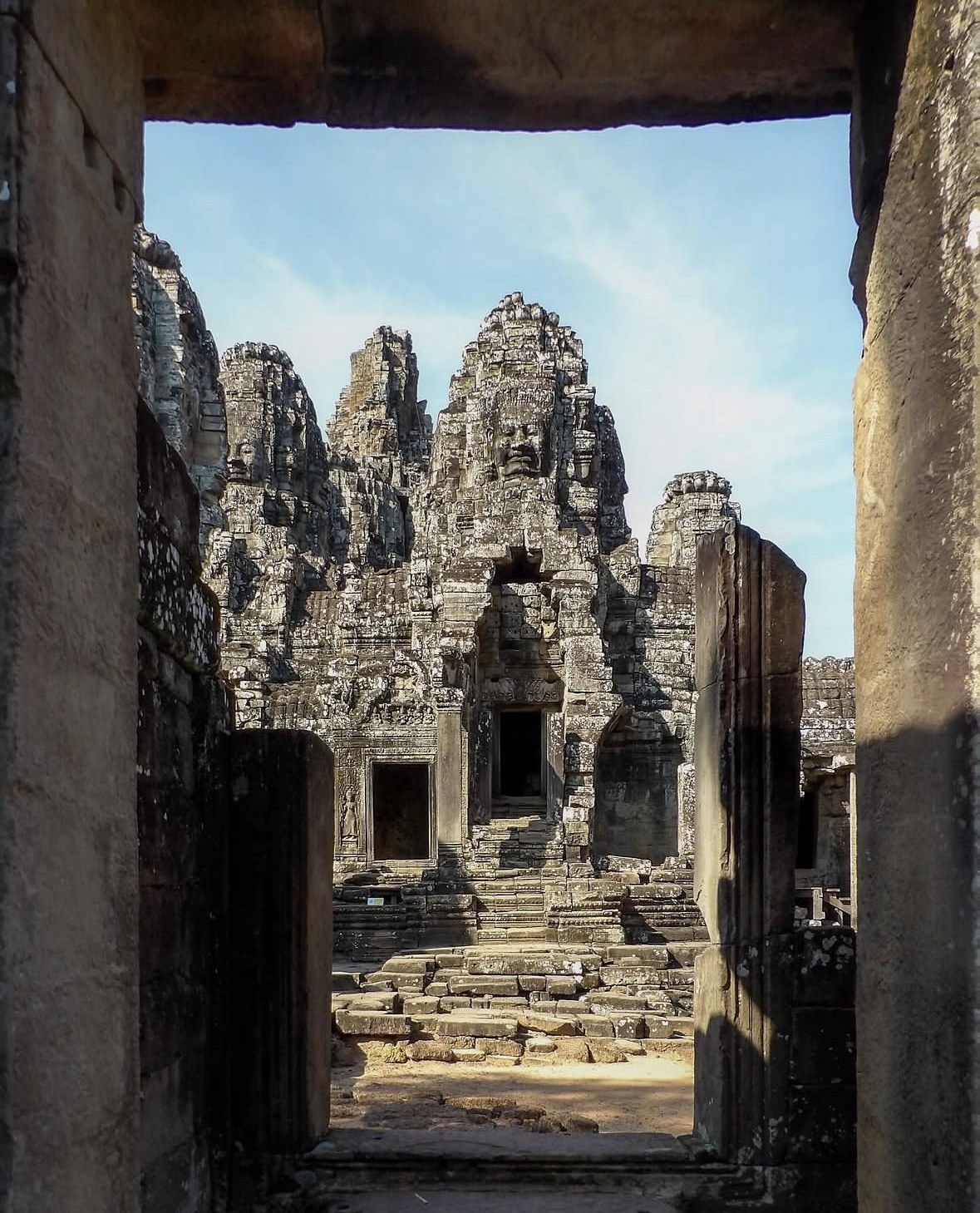
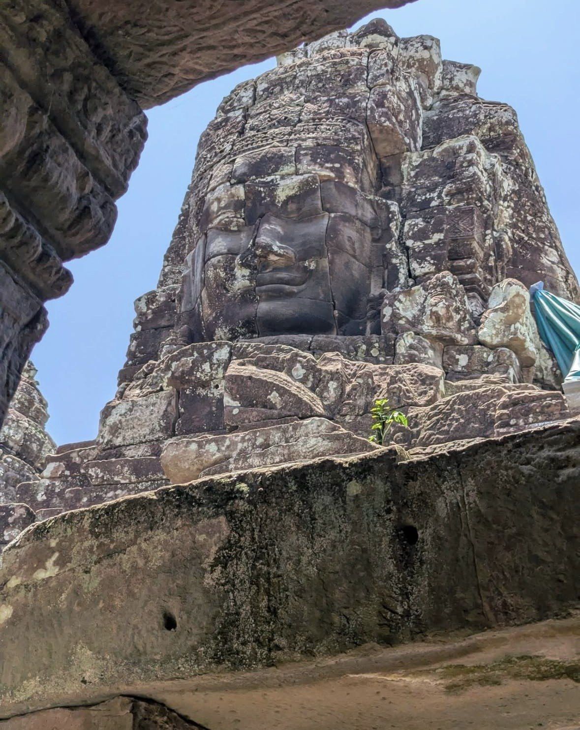
North of Angkor Wat stands Angkor Thom, the walled city, with the Bayon at its centre. The Bayon was the state temple of Jayavarman VII and does not open until 7:30 AM. Phnom Bakheng, the hill temple about 1.5 km away, was the principal temple of Yasovarman's capital Yasodharapura at the end of the 9th century, two centuries older than Angkor Wat.
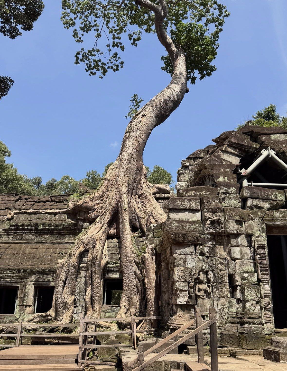
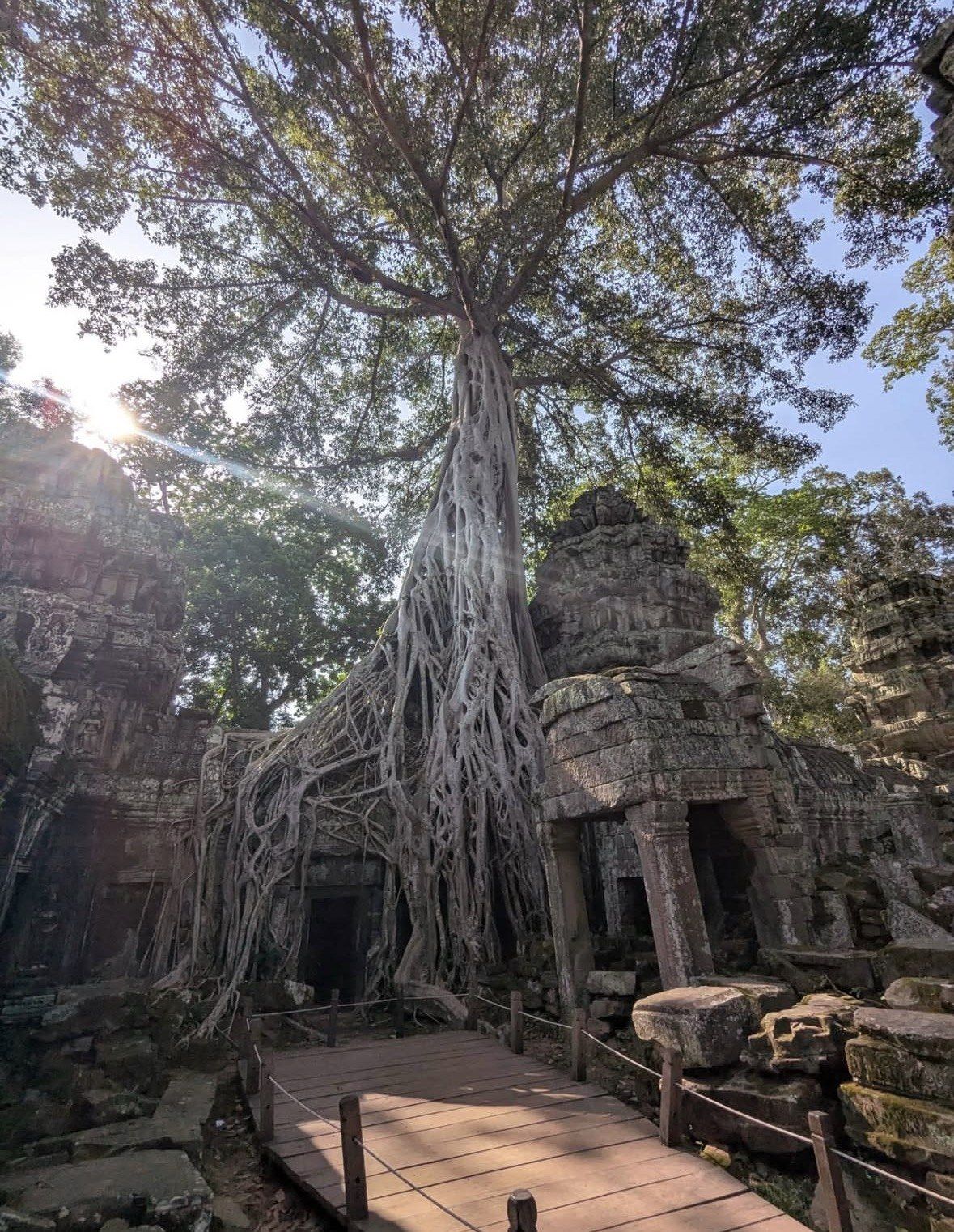
East and north-east the park spreads out. Ta Prohm, the one left with trees growing through it, stands about 3 km north-east of Angkor Wat and some 12 km from the city; its stele dates the foundation to 1186, when Jayavarman VII dedicated the monastery of Rajavihara to his mother. Preah Khan sits north-east of Angkor Thom beside the Jayatataka baray. Banteay Srei, consecrated on 22 April 967 AD, lies well out at about 25 km north-east of the main group, near the hill of Phnom Dei.
Siem Reap is south of all of it, about 6 km from the temple and roughly 12 minutes by road. The main Angkor Enterprise counter stands on that same route, where Apsara Road meets Road 60, about 4 km out from the centre, and a counter named Angkor Pavis works right by the Angkor Wat entrance. Pan the interactive map above instead of counting turnings; the park runs north from town.
Between
On the map
Siem Reap centre and Angkor Wat
6 km straight north, around 12 minutes' drive
Siem Reap centre and the main ticket counter
about 4 km, Apsara Road at Road 60, on the way out
Angkor Wat and Phnom Bakheng
about 1.5 km
Angkor Wat and Ta Prohm
about 3 km north-east
Siem Reap and Ta Prohm
about 12 km
Main Angkor group and Banteay Srei
about 25 km north-east
Small circuit, as a loop
about 17 km (10.5 miles)
Grand circuit, as a loop
about 25 km (15.6 miles)
The central loop with a driver and a guide
This 6-7 hour private day tour starts with hotel pickup and covers the 6 km out of town and the central loop with an experienced English-speaking guide and cold bottled water, in a tuk-tuk for 1-3 passengers or a minivan from 4 upwards. The listing keeps the compulsory Angkor National Park ticket, $37 per person, outside the price.
Put the numbers end to end and the day explains itself. The loop through Angkor Wat, Srah Srang, Ta Prohm and Ta Keo into Angkor Thom by the Victory Gate measures about 17 km (10.5 miles). Swing the line further east through Pre Rup, East Mebon, Neak Pean and Preah Khan and the loop on the map stretches to about 25 km (15.6 miles), closing through the north gate at the Bayon. On top of that come 6 km out of town and 6 km back, and Banteay Srei adds a separate run of roughly 25 to 30 km from Siem Reap. You will be driven between the sites.
Opening hours pull the route around as much as the kilometres do. The temple at the centre of this map takes visitors 5:00 AM to 5:30 PM. Four other points on the plan, the Bayon, the Baphuon, Ta Prohm and Banteay Srei, stay closed until 7:30 AM; Preah Khan works from 7:00 AM through to 6:30 PM; Phnom Bakheng is listed to 7:00 PM, but plan to be down by the park's 6:30 PM closing; the park boundary itself admits from 5:00 AM and closes at 6:30 PM. Build the route around those hours and you spend far less time waiting at gates.
Two practical rules belong on the same map. Keep the moves between sites in daylight, and stay on main routes and marked paths in the rural areas around the temples. With the geography clear, the circuits page is where you choose which loop fits which day.
What the layout tells you before you pick your days
For a dawn start the detail that matters is that the causeway and the restored northern pond face the right way, and that Angkor Wat opens at 5:00 AM for sunrise. The time you need to be standing on that causeway slides by close to an hour through the year: the sun clears the horizon at about 05:39 at the June solstice, about 06:08 at the March equinox, and not until about 06:31 in mid-January.
Other early viewpoints are there on the map if you want them: Srah Srang opens from 5:00 AM and Pre Rup from 6:00 AM. At the other end of the day, Preah Khan stays open to 6:30 PM and Phnom Bakheng is listed to 7:00 PM, but plan to be down by the park's 6:30 PM closing; both are still working after Angkor Wat has shut. Sunset falls at roughly 18:34 in June, 18:15 around the March equinox and 17:43 in December.
Dress for the whole route before you leave the hotel, shoulders and knees covered. Revealing clothing is not allowed in sacred places under the visitor code of conduct, and admission to religious sites can be refused on that basis, with Angkor Wat named among them. Every gate drawn on this map is a checkpoint where staff scan the pass before you go through, so keep it on you right round the loop.
Questions people ask
Does the Angkor pass cover every temple on the park map?
It covers more than 50 accessible temples inside Angkor Temples Park, which is most of what you see plotted here, while the ticketing authority counts more than 90 temples across all of the sites it tickets. The outlying ones on the wider map sit on their own tickets: Koh Ker at $15 for one day, Beng Mealea at $10 and Kbal Spean at $5. Entry at those three begins an hour after Angkor's, at 6:00 AM, though closing is the same 6:30 PM.
Can I walk between the main temples?
Not realistically. Phnom Bakheng is about 1.5 km from Angkor Wat and Ta Prohm about 3 km north-east, but strung together as a route the small circuit comes to about 17 km (10.5 miles) and the grand circuit about 25 km (15.6 miles), before you add the 6 km in from Siem Reap. Visitors are driven between sites, and a cycle tour with a support vehicle is the other way to cover the mileage.
How far off the main map is Banteay Srei?
About 25 km north-east of the main Angkor group, near the hill of Phnom Dei, which works out at roughly 25 to 30 km from Siem Reap. That is why it takes its own half-day rather than being tacked onto a circuit. A staffed counter works at the site. Confirm its hours before you commit the morning to it.
Is there a way to see the layout from above?
The Angkor Balloon near Angkor Wat is tethered with helium rather than free-flying. From about 120 m up, on a ride of 10 to 15 minutes, the plan opens out below: Angkor Wat, Phnom Bakheng and the West Baray, with Tonle Sap Lake and Phnom Krom in the frame when the air is clear. Flights run between sunrise and sunset as the weather allows, and no Angkor temple pass is needed for it.
The 9-hour sunrise bike tour takes the loops on a Trek mountain bike with a helmet, an e-bike when you book that option, or a tuk tuk. A support vehicle shadows the route, an English-speaking cycle guide rides with you, pick-up and drop-off are at your hotel, and breakfast and lunch are built into the day. From $60, rated 5.0 ★ (638 reviews), with the $37 single-day temple entry not included.